|
An Autumn Ride Through Metro Boston
|
After an 8:00 am meeting and my weekly visit to the Roslindale Farmers Market, I headed off across
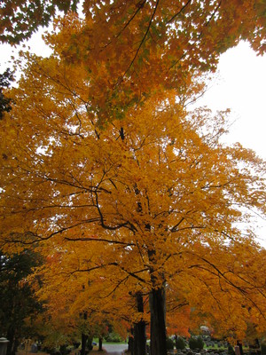
the city to see fall colors on big trees in the Cedar Grove Cemetery in Dorchester. Then I rode north
along the Neponset Trail, through Port Norfolk,
around Columbia Point, down Old Colony Ave. to the
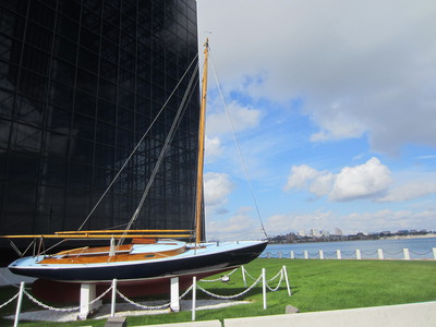
South Bay Harbor Trail along the Fort Point Channel and the Rose Kennedy
Greenway (including missing
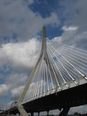
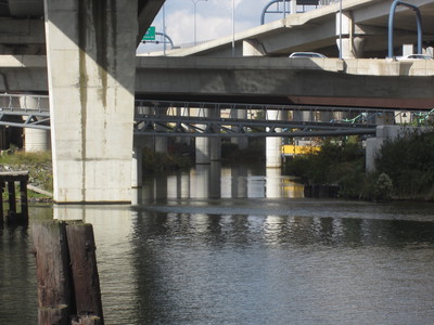
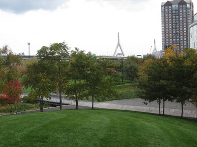
bits) and a food truck crepe for lunch to Paul Revere Park in Charlestown and under the Zakim Bridge
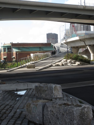
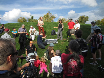
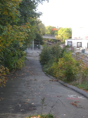
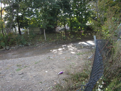
to North Point Park in Cambridge for an exploration of the route of the Community Path toward
Davis Square in Somerville. Then, after a quick visit with a friend, it was another ride across the
city back to Neponset Circle for the annual Pumpkin Float on Davenport Creek, an after-party at
the nearby, recently-renovated house of a friend, and a bike ride across Dorchester home to Roslindale.
Click on image to get full resolution, then right click to "Save Image as..."
Full resolution images are two to four megabytes.
All photos are by
Jessica Mink,
Masspaths.net
You may use any of these images with credit to the photographer.
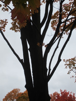
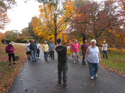
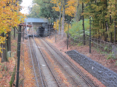
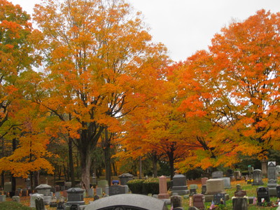
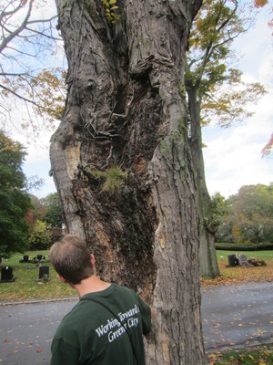
The Trees of Cedar Grove CemeteryThe Urban Forest Council of the Boston Natural Areas Network sponsored a walk through the gloriousfall colors of the Cedar Grove Cemetery in south Dorchester, near the Neponset River. | ||
 |
 |
 |
 |
 |
 |
 |
 |
 |
 |
 |
 |
 |
 |
 |
 |
 |
 |
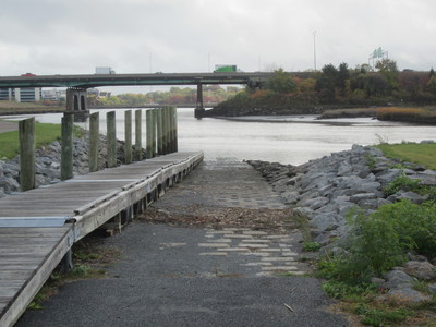
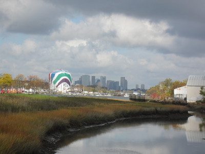
Port NorfolkDetouring briefly off the route of the Neponset Trail, I toured the tiny but cute Port Norfolk neighborhoodin Dorchester between the Southeast Expressway and the Neponset River Estuary. | ||
 |
 |
 |
 |
 |
 |
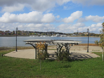
North along the HarborThe off-street Neponset Trail ends in Tenean Beach, but pieces will someday be assembled into a continuous path on to Columbia Point. | ||
 |
 |
 |
 |
 |
 |
 |
 |
 |
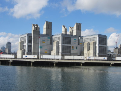
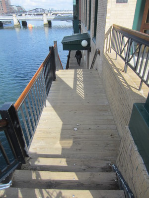
Fort Point ChannelI left the Harborpath at Carson Beach in South Boston and took Old Colony Ave. across south Boston to jointhe South Bay Harbor Trail along Fort Point Channel following that path, up and down stairs along the Channel, to the Old Northern Ave. Bridge into Boston Proper. | ||
 |
 |
 |
 |
 |
 |
 |
 |
 |
 |
 |
|
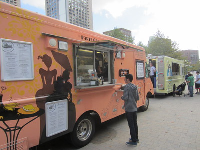
Rose Kennedy GreenwayIf you slow down, the Greenway is a pleasant place to bike and stop for a quick crepe or cheese sandwich for lunch. | ||
 |
 |
 |
 |
 |
|
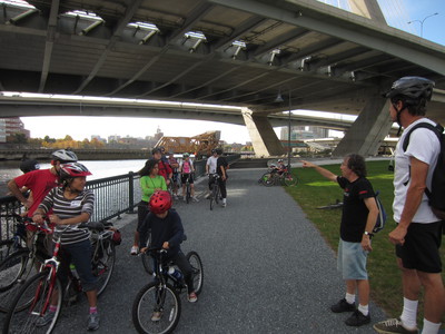
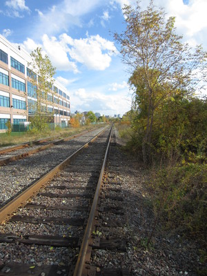
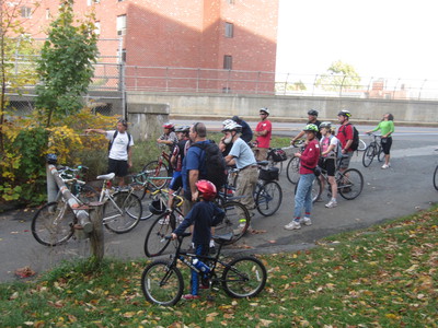
Millers River PathThe bike group split to see the new North Bridge and visited the quirky Millers River Path as well before heading toward Somerville. | ||
 |
 |
 |
 |
 |
 |
 |
 |
 |
 |
 |
 |
 |
 |
 |
 |
 |
 |
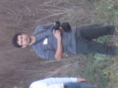
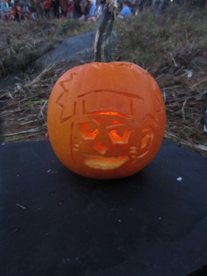
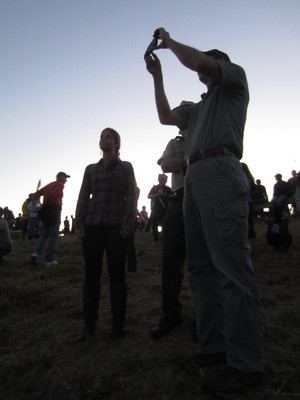
Neponset Greenway Pumpkin FloatAfter we finished the Community Path tour, and visiting a Somerville friend, I zoomed across Somerville,Cambridge, and Boston to Davenport Creek in Pope John Paul II Park on the Neponset River, at Boston's southern edge, to help float a record number of jack-o-lanterns for our 11th year. There are more pictures, including one with me launching pumpkins, at Boston.com. | ||
 |
 |
 |
 |
 |
 |
 |
 |
 |
 |
 |
 |
 |
 |
 |
 |
 |
 |
 |
 |
 |
 |
 |
|


