Neponset River Greenway Spring Ride
10:00 am, Saturday, April 4, 2015
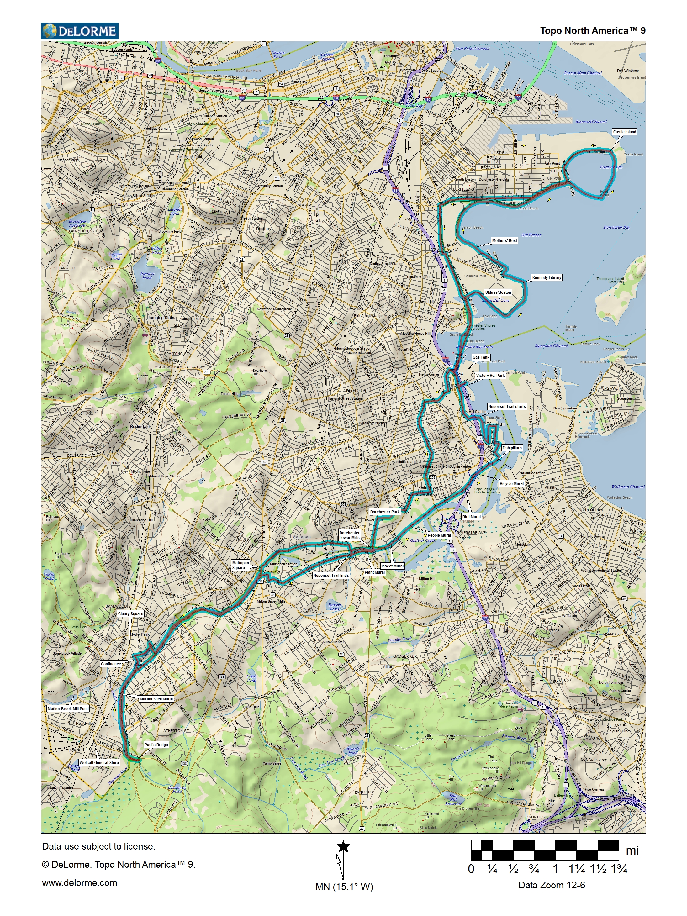
From Paul's Bridge at the Milton Readville line, we'll follow the
bike lanes on Truman Parkway north along the
Neponset River, then cut through Milton along the river to the first section
of the Neponset Trail, which we'll follow to Tenean Beach in Dorchester.
We'll follow the route of the future Dorchester Coast Trail to
Columbia Point, where we'll pick up the existing paved path along
Boston Harbor past UMass/Boston, the Kennedy Library, and the
Harbor Point Apartments to Carson Beach and Castle Island.
Then we'll head back through South Boston and Malibu Beach
to Freeport St., where we'll head through Dorchester to Adams St.
and paths through Dorchester Park. We'll cross the Neponset on
Dorchester Ave and Adams St. and follow Eliot St. above the trail
to Central Ave., where we'll cross back to Boston and take River
St. to Mattapan Square, where we'll pick up the Truman Parkway stretch
of the trail and follow it south to the starting point.
Postponed twice due to cold, snow, and wind from March 21 and March 28.
This ride is sponsored by the Boston Region of The Trustees of Reservations and its community-based Neponset River Greenway Council, which have been working with the DCR to connect parklands along the river since 1990.
2014:[Ride] [Photos] 2013:[Ride] [Photos] 2012:[Ride] [Photos] 2011:[Ride] [Photos] 2010:[Ride] [Photos] 2009:[Ride] [Photos] 2008:[Ride] [Photos] 2007:[Ride] [Photos] 2003:[Photos2]
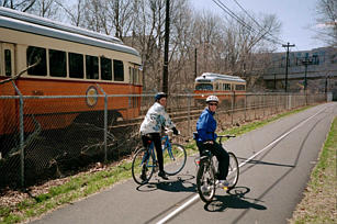
Trolleys and bikes along the High-Speed Line
Details
- Where: Meet at the parking lot at Paul's Bridge and Brush Hill Road at the edge of the Blue Hills just off the Neponset Valley Parkway.
- When: Departing at 10:00 am, Saturday, April 4, 2015
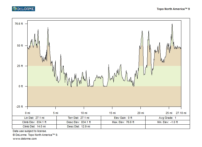
- Distance: about 27 miles.
- Pace: Relaxed, probably 6-10 MPH.
- Terrain: Mostly flat.
- Route: Mixture of on-road (80%) and shared-use path (20%).
- Leader: Jessica Mink
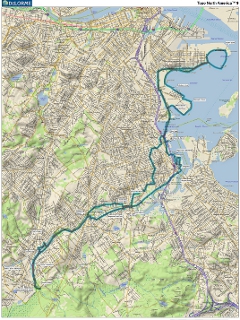
Maps and Cue sheet
Getting There
Bicycle
Ride south from Forest Hills on Hyde Park Ave. to Readville, then turn left on the Neponset Valley Parkway to Brush Hill Rd. just after crossing the Neponset River. From the eastern part of Boston, get to Mattapan Square and follow Brush Hill Rd south by forking left from Truman Parkway in Milton.MBTA
You can take your bike on T rapid transit lines and bus lines, (none of which go to today's ride), for no extra charge. Details are on the MBTA website.From Forest Hills (Orange Line):
Take Hyde Park Ave. to Readville and turn left on the Neponset Valley
Parkway to Paul's Bridge.
Car
Take the Route 138 exit from Route 128/93N, and go north to Brush Hill Rd. Turn left using a right turn through a jug handle.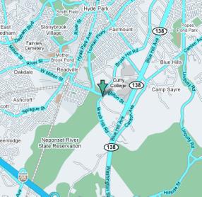
Click for Google Maps